Pisgah Mountain Bike Guide: Black Mountain, Squirrel Gap & Brevard
Old-school Appalachian gnar, root-tangled descents and 20,000 vertical feet of stage-race climbing. A guide to riding Pisgah National Forest from the workshop town of Brevard, with timing, transit and trail picks.
An Appalachian network with no lifts and no apologies
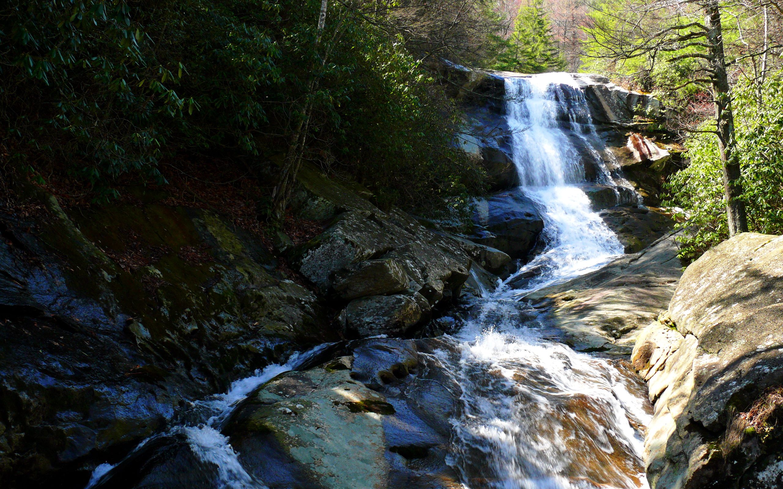
Pisgah National Forest does not flatter visitors. Spanning more than 500,000 acres of the Southern Appalachians in western North Carolina, the forest holds roughly 87 mapped mountain bike trails stitched together by gravel fire-road climbs, hand-cut singletrack and shin-deep river crossings. There is no chairlift, no detachable gondola, no manicured flow park. The signature ride, Black Mountain Trail, climbs out of the Davidson River corridor before dropping a long, rooty, rock-armoured descent that locals quietly use as a yardstick for every other trail east of the Mississippi.
For riders accustomed to European bike parks, the format takes adjustment. Pisgah is earned. Most days involve 1,000-1,500 metres of self-propelled climbing on forest service roads, repaid in fall-line singletrack that has been ridden, hiked and horse-packed since long before the term "enduro" existed. The reward is a riding character that has all but vanished elsewhere on the East Coast.
Signature trails
The forest's reputation rests on a small set of classics that string together into bigger days:
- Black Mountain Trail (advanced / black) — the test piece. Loops range from a tidy 12 miles up to 30-mile epics combining Turkey Pen and Squirrel Gap. Steep punches, granite slabs and a sustained upper descent.
- Squirrel Gap (#147, advanced / black) — narrow, off-camber ridge traversing into Mullinax, Laurel and Horse Cove Gaps. Best linked with Cantrell Creek for a true Pisgah backcountry day.
- Farlow Gap (expert / double-black) — widely regarded as the most technical descent in the forest. Loose, exposed, full of consequence. Walk sections without ego.
- Laurel Mountain / Pilot Rock (advanced / black) — a 16-mile loop with the best ridgeline views in Pisgah and an upper Pilot Rock descent that is unrelenting.
- Bennett Gap and Avery Creek (intermediate-advanced / blue-black) — fast, rocky and a good calibration ride on day one.
- Bent Creek Experimental Forest (intermediate / blue) — the gentler northern network near Asheville. Green's Lick is the standout descent and a fair warm-up before heading south.
How the network works without a lift
Pisgah operates as a pedal-access and shuttle-access network rather than a bike park. There is no lift system, no season pass, no day ticket. Shops in Brevard, including The Hub at the southern entrance and local outfitters in town, run shuttles for Laurel Mountain and Black Mountain on busy weekends, but most riders climb their own descents. Trails are shared with hikers and equestrians, and e-bikes are not permitted on Forest Service singletrack. Race weekends aside, etiquette is the unspoken price of admission.
The event calendar gives a sense of the terrain's scale. The Pisgah Stage Race runs five stages and roughly 140 miles with more than 20,000 feet of climbing. The Off Road Assault on Mount Mitchell (ORAMM) tackles the highest peak east of the Mississippi, and PMBAR, an adventure race of 50-80 miles and up to 15,000 feet of climbing, has cult status. Pisgah has never hosted a UCI World Cup or Crankworx round; this is not that kind of destination.
Getting there
The natural gateway is Asheville Regional Airport (AVL), roughly 25 minutes north of Brevard by car. Charlotte Douglas (CLT) offers wider international connections and sits about two hours east by road. There is no direct rail service to Brevard; Amtrak's nearest stop is Greenville, South Carolina, around 75 minutes south. For visitors flying transatlantic, routing via Atlanta or Charlotte and renting a car for the final leg is the realistic option. A bike-friendly hire car or van is recommended given trailhead spread; the Davidson River, Bent Creek and North Mills River entrances sit on different sides of the forest.
Shoulder vs peak season
Pisgah rides almost year-round, but conditions vary sharply. Late April through June brings dogwood and rhododendron in bloom, firm dirt and mild temperatures in the high teens to low twenties Celsius. July and August are humid and thunderstorm-prone; canopy keeps the singletrack tolerable but afternoon downpours close out longer rides. Mid-September through late October is widely considered the standout window, with low humidity, hard-packed loam and Appalachian foliage at peak. Winter is rideable in dry spells, though high-elevation trails like Pilot Rock can ice over after cold snaps.
Where to base
Brevard, a small workshop-and-brewery town of around 7,800 people, is the practical base for riders focused on the southern Pisgah network. Asheville suits visitors splitting time between Bent Creek and the broader food and music scene. Trailhead campgrounds at Davidson River, Lake Powhatan and North Mills River sit closest to the singletrack and book out fast for autumn weekends; cabin and lodge stays in and around Brevard offer secure bike storage and laundry that long Pisgah days require.
The sustainability case for Pisgah
Reaching Pisgah from outside the US always involves a flight, which is the dominant share of any trip's footprint. Once on the ground, the destination rewards low-impact travel: a single rental car based in Brevard, ride-from-the-door access at several lodges, and a forest network maintained largely by volunteer chapters of Pisgah Area SORBA. Choosing shoulder-season weeks eases pressure on the busiest trailheads, supports year-round local businesses and avoids the summer storm cycle that compounds erosion on Pisgah's steepest descents.
A point-of-view run of the Black Mountain Trail, the test-piece descent that defines Pisgah riding.
Find a hotel in Pisgah
Same prices as Booking.com. 1 tonne CO₂ retired per stay. €5 credit on signup.
Search now →